The Biggest Winner Wt Loss Challenge for Covenant Health Knoxville Marathon might be over but the team is still striving to stay fit and healthy while losing more wt.
Kelsey Godfrey was awarded "Biggest Winner" for her 35 pds + wt loss, regular attendance to Dietician/strength meetings at Cov Wt Management Center and FSHFC while having Coach Missy and KTC training folks help her along the way. She also lost inches and gained muscle while taking off over 35 minutes on her half marathon time.
She along with team mate
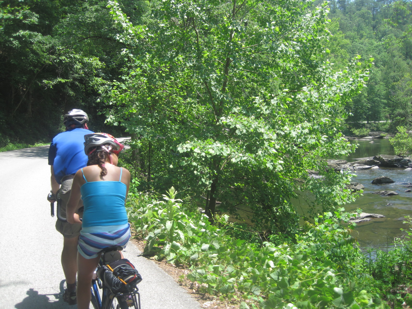
Wyatt Hall *lost 20 pds and showed 28 pds of fat loss on Cov Special wt scales also joined in the fun at our Get on Trail with Friends and Missy hikes. The 58 folks carpooled to Smokemont then hiked along Bradley Fork trail which runs along two pretty rivers/creeks while bathed in an abundance of wildflowers. The groups did 6-13 miles and a large group including Kelsey and Wyatt went out 5.6 miles to end of Cabin Flats and campsite 49. Then Kelsey Missy Andy the intern and Sharon Spezia cut off Bradley Fork to Smokemont loop on return to add 4 more on (total 13.5) *kelsey & wyatt w/ missy left


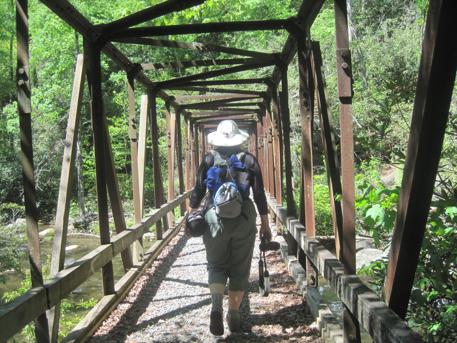
Smokemont loops was very steep in places so not a beginner type of hike
While Bradley Fork trail is nice and gentle and wide. There are numerous ruts as it is often used by horses, but safe with nice bridges to cross etc.
Over the last 11 years this program "Get on Trail w/ Friends & Missy" has raised over 100,00 from the 15 per hike the hikers give, to the sponsors who support this program. Thanks Friends Staff,
Rangers of GSMNP, News Sentinel, Home Federal, Blue Ridge Mnt Sports, Mountain Laurel Chalets & Ralph, Farm Bureau (sam curtis) Fontana Resort, The Track, East Tn PBS


I also have lots of pictures of spring hikes on Facebook (missy kane bemiller)


 Smokemont loops was very steep in places so not a beginner type of hike


