Breathtaking waterfall, gorgeous river, trails, smooth road for biking
All the above describe Bald River Falls area off the Cherohayla Parkway in Tellico Plains. It takes about 75 minutes from Knoxville to reach. You head out I 75 south and take exit at Sweetwater for Lost Sea and also it has sign that says Cherohayla parkway. You travel about 25 more mintues thru Sweetwater and Madisonville then come to Tellico Plains. There is a sign that says Cherohayla parkway. You take a left and you'll then see nice big visitor Center. Stop there for free maps info and bike/hike books t shirts etc.
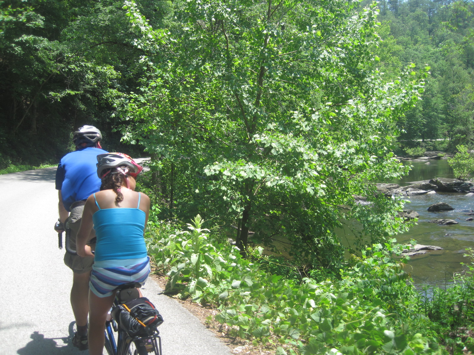
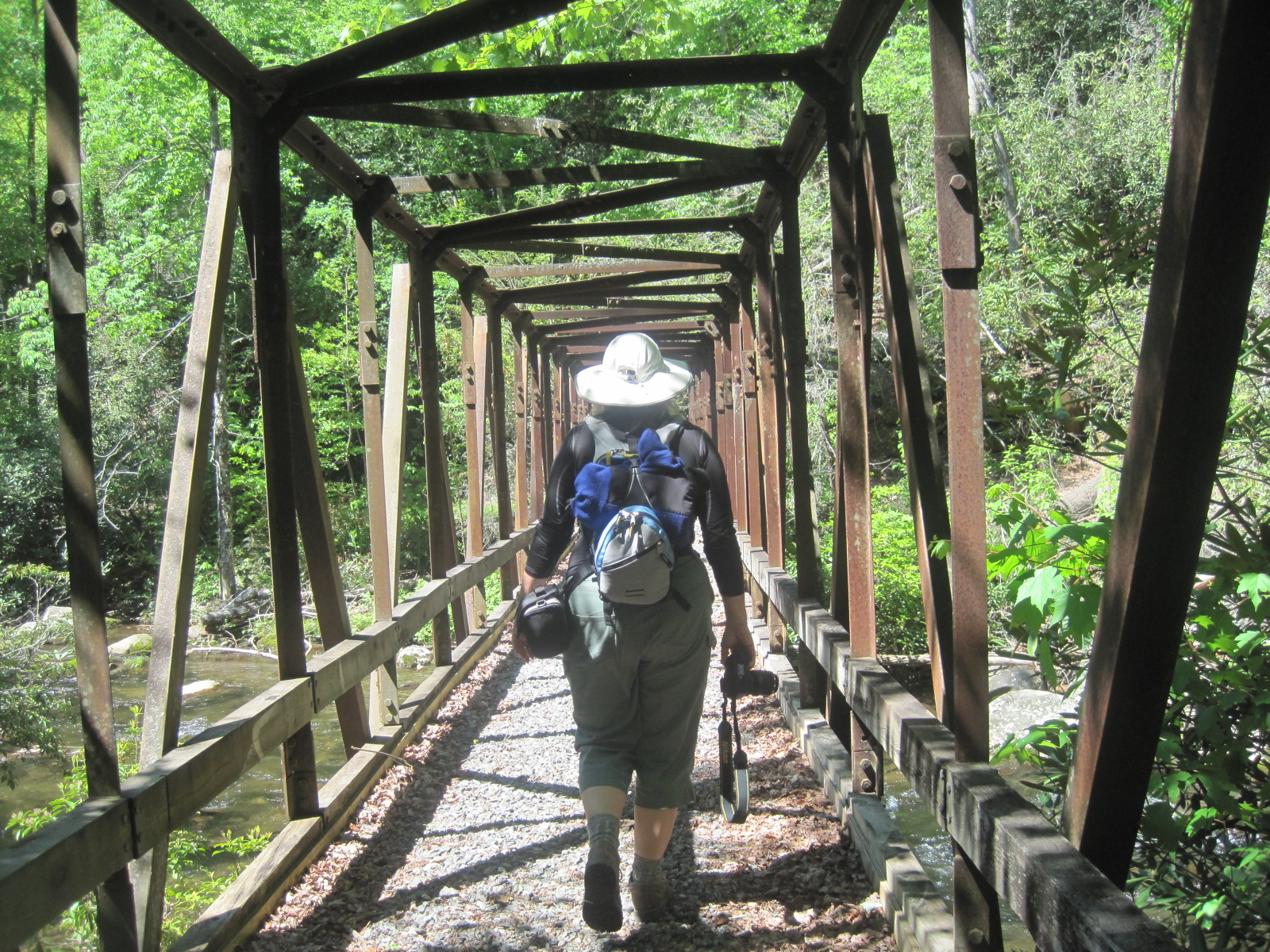
You might ask there too where the tellico plains bakery is (close but off main road) as it has yummy treats and also healthy sandwiches etc. We generally travel up about 5 miles and look for sign that says Bald River Falls. Right before sign there is a fairly big pull off where you can park or we sometimes luck out and find the first pull out on bald river road (fishing hole) and park there. All the way to the falls and then to the end of the road is a slight incline with a few good pulls. But even my hubby and 10 year old did fine on our tandem. (co-motion @ Cycology) We bike to the falls then after a few pics there take the trail (little past the falls) that leads up past the falls to several smaller falls that are perfect stop for a swim or picnic. That trail goes out further and you can make it a 5 mile (out and back) hike. We then get back on the bike to go up to Green Cove (little community that seems like 40 years ago) and stop for cold drink etc.


With Gracie (10) that was a good turn (22 total) around but often we go to the end and back. Afterwards we sneak in a burger at the Beach Drive in a few miles back down parkway which is right on Tellico River.